


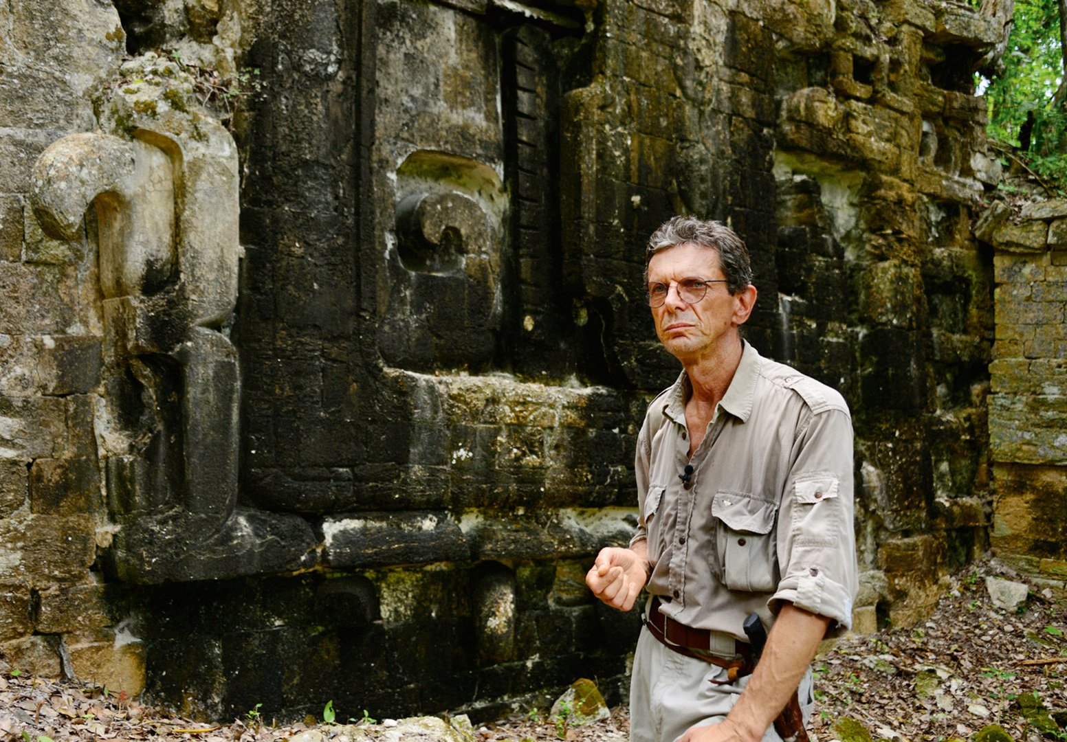
Since 1996, Slovenian archaeologist Ivan Šprajc has been exploring a relatively small section of Mexican wilderness, but in it he and his team have found around 80 previously lost ancient Mayan cities. Most were found while he was in his office in Ljubljana—about as far from the Mexican jungle as one could be. His method was to purchase aerial topographical photographs, the sort taken from relatively low-flying airplanes, and to scrutinize these photos for irregularities.
Of course, since this is the jungle shot from above, most of the photos were of the canopies of trees, of foliage. Not much to see, you would think. But he looks for geometric forms, like precise squares and rectangles that do not normally occur in nature. These suggest that something manmade was buried beneath all that foliage, causing it to grow in an unnatural shape. But having identified some likely locations, he'll don his Indiana Jones outfit, fly to Mexico, and set off on foot, hacking through the jungle at ground level until he reaches the sites he has identified. Many leads result in nothing of interest. But around 80 of them turned out to be entire cities that had been swallowed up by the jungle, and had not been seen in more than a millennium.
What Šprajc does is amazing, but the technology he uses is not all that new. Imagine taking that aerial photography airplane that flies a mile or so above ground level, and levitate it up around 400 times as high, up into space. Now take photographs, digital photographs with as much as a one-foot resolution, which means that you can zoom in a photograph taken 400 miles away in space and get a decent close-up of an object that is one-foot square (the size of a dinner plate). That's the new level of technology that so-called "space archaeologists" employ. Their technique is not dissimilar from what Šprajc did with old-fashioned printed photos. It's just on a different scale.
Space archaeologists use purchased satellite photographs of sections of Earth, such as those from DigitalGlobe, which will come in sections ranging in size, but for research purposes those running from 65x65 to 165x165 feet seem to work best. To these digital photographs they can apply a variety of filters that focus on different aspects of the electromagnetic spectrum (infrared, for example), which make it far easier to see the sort of distinctions they're looking for. What they keep an eye out for is likewise not so different from Šprajc. They're not using satellites to look underground, and they can't see through existing modern buildings, but instead they identify parts of the ground that look odd, and that might indicate that something is buried beneath. Flora will have a harder time growing and flourishing above a buried archaeological site than empty earth, so vegetation might be stunted (infrared filters help to distinguish this). They might spot vegetation growing in a geometric pattern, the sort that Šprajc hunted. And modern space archaeologists are looking for the same things: lost forts, pyramids, temples and tombs.

The most famous of all space archaeologists, the one who popularized the term with her appearances on the BBC and her high-profile TED talk, is Sarah Parcak. Parcak is a young, blonde American Egyptologist and wonderfully peppy, friendly person (she and I studied at Cambridge together and my mother taught her French was she was an undergraduate at Yale). Currently a professor at University of Alabama-Birmingham, she has made some incredible discoveries that have the world media in understandable awe. Start with this one: she found the lost city of Tannis, in Egypt. If that rings a distant bell, it is because it is in Raiders of the Lost Ark, the first Indiana Jones film. That's right, Indiana Jones couldn't find it, but Sarah Parcak did. But it doesn't stop there. She found a previously unknown temple complex in Petra, in Jordan, one of the most-excavated and best-known archaeological sites in the world. She was featured in a BBC documentary after having found an unknown Viking settlement in North America.
She has used the same technology for finding unexcavated archaeological sites to find recently-looted ones in conflict zones (important since looted antiquities is a significant funding source for terrorist groups). But her true love is Egypt, and there she's already discovered 17 potential pyramids (that's right—full-sized pyramids still buried beneath the sands), more than 3000 settlements and 1000 lost tombs. In Egypt alone. While we were both studying at Cambridge, where her doctoral thesis was on using this technology, she was finding an average of one new, previously-unknown archaeological site in Egypt every day. We tend to think that Egypt has been fairly well combed-over by archaeologists, actively excavated since the 19th century. What percentage of Egypt's ancient sites have been excavated?

She told Wired magazine that she estimates that less than one one-thousandth of one percent of the archaeological sites along the Nile River delta have been excavated. It boggles the mind.
But so does the scale of her operation. Space archaeologists like Parcak need a lot of time to pour over the photographs. There is just too much world to explore, and for every exciting discovery there may be thousands of dead ends. So she's got a plan. It's called Global Xplorer.
Everyone loves a treasure hunt, right? Hoping for that "Eureka" moment, discovering something lost and hidden, is a universal human trait. Why not harness our inner Indiana Jones? Parcak has turned to crowd-sourcing as the answer. Her idea is to develop what feels like a game called Global Xplorer—you log in from anywhere in the world and are assigned an image, perhaps of a 165x165 piece of land somewhere in the world (you won't know where, to prevent amateur "archaeologists" from trying to dig up what they find on their own). The software walks you through how to examine the land, helping you do the work of the scientist—identifying possible irregularities that suggest that there might be an unexcavated site present. If you find something, the finding is marked and a "real" scientist will take a second look. If nothing is found, then you can move on to the next image. It actually sounds fun, and if there can be some credit awarded to a user who helps to make a discovery, then it could really catch on, with thousands of people, the world over, volunteering to "play the game" and help make new discoveries. This idea was so captivating that it won Parcak the first TED Prize, a $1 million grant, to make it a reality.
Of course, identifying the site is just step one. Archaeologists have to get permission from national ministries (which, in many Middle Eastern countries, can be a fraught process), get funding for their expedition, set off in person to the likely site, and carefully, painstakingly actually do the excavation.

Western complex at the excavation site of Chactún (digital model: Aleš Marsetič, ZRC SAZU)
All this before tomb raiders can reach the site (unencumbered by bureaucracy or morality, tomb raiders are always faster than licensed diggers, and space archaeology has noted the unfortunate extent of looting, since their search for lost sites frequently leads them to illicit looting holes). So while space archaeologists are finding thousands of once-lost sites, terrestrial archaeologists still need to excavate them.
Soon, the dream of dressing as Indiana Jones from the comfort of your couch, and possibly discovering a lost city, may become a reality. Don't forget to pack your bullwhip.